In the fall of 1897, an itinerant artist named Augustus Koch visited Nelson to create his latest masterpiece: a full colour, three-dimensional bird’s eye view of the city shortly after incorporation, showing its streets, wharf, smelter, and buildings.
Koch was among the most prolific and best-travelled pictorial map makers of the 19th century, executing more than 110 such views in 23 American states. But the Nelson map was unique: it was the only one he’s known to have produced in Canada and one of the final works of his 30-year career.
We know Koch was responsible for it because of a note in the Nelson Economist of Oct. 13, 1897: “Aug. Koch … has been in Nelson for some weeks past engaged on a bird’s-eye view map of the city. The work is a very creditable one, showing every building, street, etc., with a view of the surrounding district, and all nicely coloured and drawn to scale. The map is 24 by 30 inches and has been liberally subscribed to. Mr. Koch hopes to have it lithographed and ready for distribution early in January.”
In fact, the map wasn’t ready until the spring. The Nelson Miner of April 30, 1898 contained a brief ad: “The newest thing is the bird’s eye view of Nelson, which is up to date in detail, showing every house and building in town. Lithographed in colours. May be seen at Thompson Stationery Co.’s Bookstore. A few copies on sale at a low price. Ask to see them.”
However, the map doesn’t appear to have been a best seller — no originals are known to survive. But Doug Jones of Nelson’s Cartolina Cards has been on a quest to find a copy, which he regards as the Holy Grail of local maps.
“I can’t find any reference to a copy anywhere in the world,” he says. “So it’s probably very valuable. It’s an important document historically and artistically.”
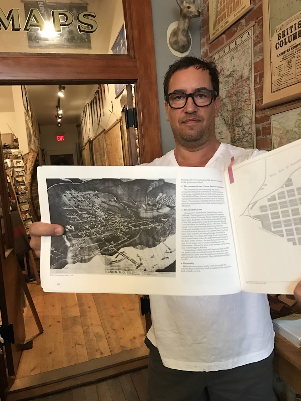
Jones learned of its existence because the BC Archives has a glass plate negative of it, reproduced in the 1981 book Nelson: A Proposal for Urban Heritage Conservation. However, it’s a poor black and white image, possibly indicating problems with the negative itself.
Nevertheless, Jones was bowled over: “It caught me immediately. Like wow, that it is the best image of Nelson I’ve ever seen depicted anywhere.”
He obtained a slightly better quality scan from the archives that allowed him to see the individual buildings, including the original wood frame Tremont Hotel, built in 1891. (The western-most portion of the second Tremont, built in 1899, is now home to Cartolina.)
Also featured is the Hume Hotel, which opened in February 1898. Koch either held off on completing his map until then or included it based on conceptual drawings of the building.
A numbered key at the bottom highlights 32 sites, including the old courthouse, churches, various business blocks, and the “county prison.” Log booms and the Canadian Pacific Railway tracks are seen along the waterfront, while the Nelson and Fort Sheppard Railway line is at the top.
The tramline from the Silver King mine to the Hall Mines smelter in Rosemont is also depicted. Koch might have signed the work — but that part of the image is illegible.
The BC Archives apparently acquired the negative in 1935 or earlier, but had no record of who donated it. Jones searched the Touchstones Nelson archives and talked to retired archivist Shawn Lamb as well as local old-timers and collectors, but no one has seen the real thing.
Cartolina makes and sells reproductions of local historic maps and Jones is a professional illustrator who has done some map-making himself, “so I understand the process and can relate to the people who made these.”
Koch, he says, would have sketched every building individually to get the shape, proportions, and number of windows, and collected information on the layout of city streets, creeks, mountains, and railway tracks.
That would have been laid out on a perspective grid, with the buildings drawn to scale.
After a number of roughs, the finished version would have been sent to a lithographer, probably in the US.
Koch pre-sold the map, but there’s no indication how much he charged for it or how many he printed. By contrast, at least a dozen copies survive of the region’s most famous map, Perry’s Mining Map of West Kootenay, published in 1893 and exhibited at the Chicago World’s Fair.
It originally sold for $2.50 for a pocket copy, $3 for a half-mounted version, or $4 for a fully-mounted one — at a time when miners made about $3 a day.
But where Perry’s map has been justly celebrated, Koch’s map remains obscure. Jones thinks that may be partly because it had a much narrower audience: Nelson residents and their families.
“But I think this map is as good as Perry’s if not better for historical importance,” he says.
“It’s more of an illustration or a drawing than a map — it’s really art as opposed to cartography. I think it’s a very beautiful drawing. I just hope somebody has it hanging on their wall and comes forward and shows us because we’d love to see it.”
