Eighty-eighth in an alphabetical series on West Kootenay/Boundary place names
Howser presents one of the most perplexing place name mysteries in this area, with alternate spellings and red herrings galore. Due to its complexity, we’ll devote several installments to it.
Paul and Marion Howser of Reigate, Surrey, England have gone to extraordinary lengths and travelled thousands of kilometers to sort it all out. While they haven’t learned precisely who the community was named after, in 2013 they produced an exhaustive report on the subject.
They note the surname Howser is very rare in the United Kingdom. They first learned it was a place in BC when Marion’s father gave them the fall 1980 edition of Beautiful British Columbia Magazine, which contained a photo of Howser Spire and a map showing the locality of Howser.
“We wondered how these geographical features came to be named and did not realize at the time that this would be the start of a research program extending over more than 30 years,” Paul writes.
Paul and Marion visited North America in 2004, 2005, and 2011 to further their investigation. Their search took them to dozens of archives and libraries as well as to Howser itself.
One of their most significant discoveries was that the earliest mention of Howser Creek, from which the community ultimately derives its name, appears in George M. Dawson’s The Mineral Wealth of British Columbia, published in the 1887-88 Annual Report of the Geological & Natural History Survey of Canada.
Dawson wrote: “‘Howser Creek: On this and another stream tributary to Duncan River, which flows into the north end of upper Kootenie [sic] Lake, coarse gold has been found. No work of importance.”
The spelling is important, however, for Howser was also written Hauser and Houser. Paul maintains Howser is the original and correct form. Howser Creek is also mentioned in a legal notice taken out by G.O. Buchanan in March 1890 and published in the British Columbia Gazette, and further appears on Perry’s Mining Map of 1893. (Paul and Marion also located Father Pierre-Jean De Smet’s 1846 map of Oregon Territory, which shows Howser Creek as Rio Charles.)
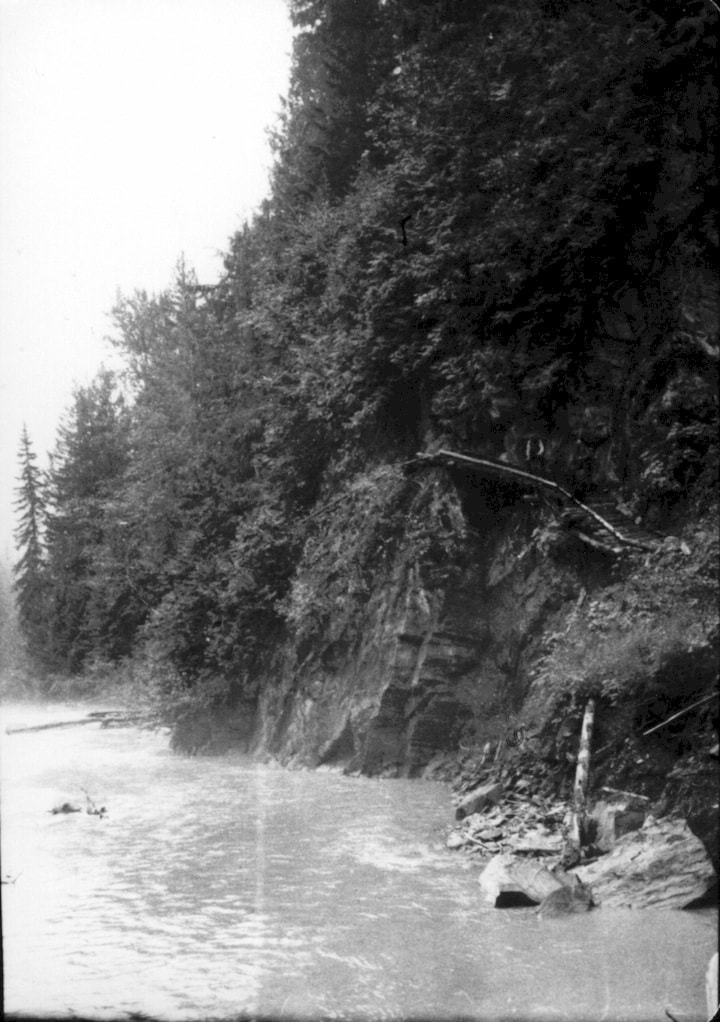
Duncan Lake was formerly called Upper Kootenay Lake and Howser Lake. It was first mentioned by the latter name in the Nelson Miner of July 4, 1891, but spelled Hauser in the Miner on Dec. 31, 1892; Houser in the Nelson Tribune of April 20, 1893; and Hawser in the Miner of Oct. 5, 1895.
The Spokane Review of March 9, 1893 wrote: “Still they persevered, following slowly up the Lardo and Duncan rivers to Hauser lake or what is more commonly termed the upper Kootenai.”
But according to the Miner of May 20, 1893: “Hauser, or as it is incorrectly called on the government maps, Upper Kootenay Lake, is about as pretty a little sheet of water as one can find …”
When William Simpson and Shirley Keeling took out a pre-emption on Lot 528 on Aug. 25, 1892, their survey plan called it “Howser or Upper Kootenay Lake” — the first appearance on a map of Howser Lake by that name.
They established a townsite called Duncan or Duncan City, first mentioned in the Miner of Dec. 10, 1892 (we’ll explore the origins of that name in a later installment).
According to Elsie Turnbull in Ghost Towns and Drowned Towns of West Kootenay, the CPR offered $50,000 for the townsite (something like $1.3 million today) but the owners refused. Consequently, the railway bypassed the town and Howser station was built about a mile inland from Howser Lake.
Over the next few years, the town’s name was in flux. In 1893, merchant Frank Heap advertised in the Kaslo Claim that he was doing business at Houser City, but maps showed it as Duncan City. The 1899 Minister of Mines report mentioned “Duncan City, or Howser as it is now called.”
In 1900, in anticipation of the Great Northern Railway building its own line through the Lardeau, Simpson and Keeling had their townsite resurveyed. This time it would be known as Hauser.
Next: More confusion.
Previous installments in this series
Applegrove, Appleby, and Appledale revisited
Bakers, Birds, and Bosun Landing
Bannock City, Basin City, and Bear Lake City
Bealby Point (aka Florence Park) revisited
Boswell, Bosworth, Boulder Mill, and Broadwater
Brooklyn, Brouse, and Burnt Flat
Camborne, Cariboo City, and Carrolls Landing
Carmi, Cedar Point, Circle City, and Clark’s Camp
Carson, Carstens, and Cascade City
Christina City and Christian Valley
Cody and Champion Creek revisited
Champion Creek revisited, again
Columbia City, Columbia Gardens, and Columbia Park
Crawford Bay and Comaplix revisited
Dawson, Deadwood, and Deanshaven
English Cove and English Point
Forslund, Fosthall, and Fairview
Fort Shepherd vs. Fort Sheppard, Part 1
Fort Shepherd vs. Fort Sheppard, Part 2
Gladstone and Gerrard, revisited
Granite Siding and Granite City