Forty-first in an allegedly alphabetical series on West Kootenay/Boundary place names
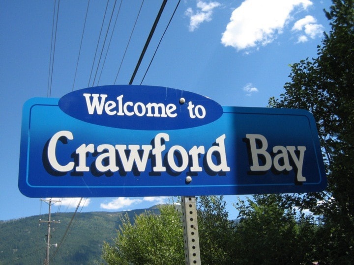
Crawford Bay and Crawford Creek are reportedly named after prospector and trapper James Crawford (1860-1914).
According to Susan Hulland and Terry Turner’s Remember When, Crawford “spent many years exploring the west flowing drainages of the Purcell mountains. In his later years, he was crippled with rheumatism and died in his remote cabin at the headquarters of the Goat River.” He’s buried at Porthill, Idaho, less than 300 feet from the Canadian border. The Ktunaxa people called him White Man Jim.
The earliest known reference to his namesake body of water is in the Nelson Miner of July 26, 1890: “There is said to be about 200 acres of land suitable for pasturage at the head of Crawford bay, on the east side of Kootenay Lake.”
A week later the paper printed a letter extolling the area’s virtues by Joseph William Cockle (1855-1927), who filed the first pre-emption there in 1889. Although the bay was named for Crawford, the settlement was shown as Cocklethorpe on Perry’s Mining Map of 1893.
The Ktunaxa name for Crawford Bay is k’upawi¢knuk, meaning “where the lake goes inland.”
The Crawford Bay townsite was surveyed on June 1, 1900. Now-vanished street names included Crawford, Simcoe, Norfolk, and Day. (Simcoe and Norfolk were two of the claims at the Silver Hill mine up Canyon Creek.)
The Crawford Bay post office opened in 1904. A second post office, known as Port Crawford, opened on the west side of Crawford Creek in 1916. The two amalgamated in 1954.
Comaplix, revisited
Concerning a recent installment about the ghost town of Comaplix, Ann Irving points out we didn’t address its pronunciation — and how it differs from the pronunciation of Incomappleux, even though both are derived from the same Sinixt word, nk’mapeleks.
“My father, Norman Brewster, and two other members of the Alpine Club of Canada made an expedition into the Battle Range in the summer of 1947,” Irving writes.
“At the time this area was still a blank spot on anybody’s map. Having failed to reach the area from the north the previous year, they made their way northward from Beaton via the Incomaplix River and Kellie Creek, where they climbed and named a number of prominent peaks, such as Mts. Grendel, Beowolf, Illusion, and Billy Whiskers Glacier.
“In researching possible routes into the area my father had consulted with a number of local residents including two trappers who had penetrated as far as anybody. In speaking about these experiences my father always pronounced the name Incomaplix (which at the time was more commonly spelled Incomappleux) as ‘In-coma-ploo’ with the accent on the second syllable.”
Comaplix, however, is pronounced as it spelled.
Previous installments in this series
Applegrove, Appleby, and Appledale revisited
Bakers, Birds, and Bosun Landing
Bannock City, Basin City, and Bear Lake City
Boswell, Bosworth, Boulder Mill, and Broadwater
Brooklyn, Brouse, and Burnt Flat
Camborne, Cariboo City, and Carrolls Landing
Carmi, Cedar Point, Circle City, and Clark’s Camp
Carson, Carstens, and Cascade City
Christina City and Christian Valley
Cody and Champion Creek revisited