Seventy-first in a series on West Kootenay/Boundary place names
A recent column about Gerrard brought back memories for Bill Plotnikoff of Castlegar. In 1949, at age 17, he and his father were part of a crew working for Cominco contractor Northern Construction that was sent to Gerrard.
“I wondered what the heck I was going to be doing there,” he recalls. “Cominco wanted us to build a canal from Trout Lake down to Poplar. They were going to put in a powerhouse. We dug and dug all over.” He doesn’t know what the powerhouse was for, although Cominco did have a lead-zinc operation at Duncan Lake.
 The crew stayed in a two-storey house on the west side of the Lardeau River, overlooking the lake. They didn’t have a bathhouse, so Plotnikoff and another fellow built a steam bath on a barge.
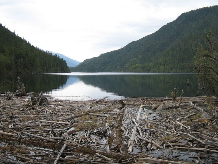
At the time, parts of the old sawmill (seen at left, date unknown) were still standing — his father actually worked there during World War II when it was owned by George Soukeroff of Pass Creek. Although abandoned, it was in immaculate shape.
“Nothing was rusty. Walking around, I found a vise and asked my dad if I could take it home. He said ‘Why not? It’s been here forever.’ I’ve still got it.”
They stayed three months, surveying “all over the place up the mountain,” but nothing came of it. At one point, a company executive arrived from Vancouver in a seaplane. “He said ‘Do you want to go home? I’ll give you a ride.’ I was too scared to go in a seaplane.”
Plotnikoff ended up back at Cominco and in 1953 got a construction job on the Waneta dam.
Gladstone
This boomtown along the Columbia and Western Railway was first mentioned in the Brooklyn News of August 20, 1898.
It was located about eight kilometers east of Christina Lake and presumably named after William Ewart Gladstone (1809-98), the then-recently deceased former British prime minister. A post office operated there from 1899 to 1903.
On January 6, 1900, the Phoenix Pioneer reported “On account of there being another town in Manitoba of the same name, Gladstone, on McRae Creek, has been changed to Coryell.”
This honoured surveyor Jack Arthur Coryell (1861-1912) and possibly his brothers Will and Frank. The Coryells came to BC from Ontario in 1892 and did a great deal of surveying in the Okanagan, where Jack is credited with both laying out and naming the Kelowna townsite.
He moved to the Boundary in 1895 and surveyed the Grand Forks, Phoenix, and Carson townsites, as well as the route for the Columba and Western from Grand Forks to Midway. (There’s a Coryell Road in both Grand Forks and Kelowna.) It’s unclear, however, if he also surveyed the townsite that bore his name.
Despite the name change, Coryell was still often called Gladstone. No photos of the town were known to exist until Marie Smith of San Clemente, Calif. produced one showing her mother and grandfather among a group of people and horses outside the Gladstone Hotel in 1899. It was printed in the Boundary Historical Society’s 15th report in 2006.
Previous installments in this series
Applegrove, Appleby, and Appledale revisited
Bakers, Birds, and Bosun Landing
Bannock City, Basin City, and Bear Lake City
Bealby Point (aka Florence Park) revisited
Boswell, Bosworth, Boulder Mill, and Broadwater
Brooklyn, Brouse, and Burnt Flat
Camborne, Cariboo City, and Carrolls Landing
Carmi, Cedar Point, Circle City, and Clark’s Camp
Carson, Carstens, and Cascade City
Christina City and Christian Valley
Cody and Champion Creek revisited
Champion Creek revisited, again
Columbia City, Columbia Gardens, and Columbia Park
Crawford Bay and Comaplix revisited
Dawson, Deadwood, and Deanshaven
English Cove and English Point
Forslund, Fosthall, and Fairview
Fort Shepherd vs. Fort Sheppard, Part 1