Forty-sixth in an alphabetical series on West Kootenay/Boundary place names
The ghost town of Deadwood, west of Greenwood, was originally called Deadwood Camp and its earliest known mention is in the Nelson Miner of September 1, 1894: “McMartin & Co. are running an arrasta [a primitive ore mill] on their claims in Deadwood camp ...”
The name’s origin isn’t certain — it might’ve been after Deadwood, South Dakota, but then again, the 2001 Boundary visitors guide claimed: “Greenwood Camp and nearby Deadwood Camp were aptly named to distinguish one another: Greenwood was known for its green wood, Deadwood for its dead wood as a result of a fire.”
In December 1899, Forbes M. Kerby surveyed the Deadwood townsite for McRae and McLaren on the northern part of their ranch. The Deadwood post office operated from 1900-22.
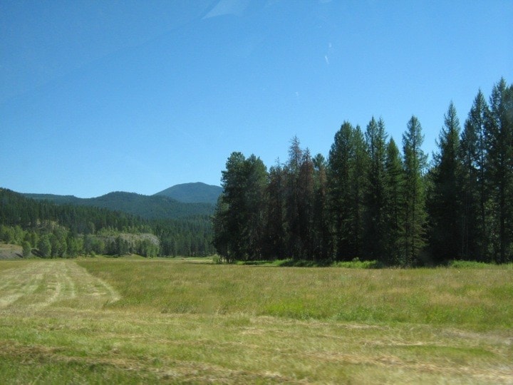
Nothing is left of the town, although there’s a large field where it once stood. The name survives in Deadwood Road and Greenwood’s Deadwood Junction.
Dawson
Before Dawson City became the epicentre of the Klondike gold rush, there was a Dawson townsite at the junction of the Lardeau River and Healy Creek.
It probably honoured the same man as the Yukon town — Canadian geologist George M. Dawson (1849-1901), who surveyed the Kootenay in the late 1880s.
The earliest mention of the townsite, owned by Simpson and Keeley, is in the Nelson Miner of December 10, 1892: “Another excursion went out by the Ainsworth to inspect the townsite of Dawson.”
It was apparently sold to the Columbia and Kootenay Railway Co. and placed on the market in April 1893, but didn’t amount to much because the railway chose the west side of the river for its line, bypassing Dawson.
The last mention of Dawson was in the Sandon Paystreak of April 13, 1901, which noted John Giles was about to open a hotel there: “John built a hotel in that region some time ago but owing to Mr. Van Horne’s timidity about building a railway to it, did not open it up.”
Deanshaven
This Kootenay Lake settlement south of Riondel was named after Richard Teesdale Deane (1884-1973) and family, who bought 400 acres there in 1909.
According to Terry Turner and Susan Hulland in Impressions of the Past, the land was part of the 650-acre Yasodhara property, which had already been subdivided.
The earliest use of the name they found was in the Nelson Daily News of January 6, 1913: “A short distance south of Riondel is Dean’s Haven, where Mr. Dean [sic], Robert Shradden [sic] and Charles F. Sherwin have promising ranches.”
“As early as 1915, the property was identified as Deanes Haven, Deaneshaven, and Deanshaven in family correspondence,” they write, adding that the settlement appeared on the steamer schedule. “At one time Mr. Deane apparently contemplated a defamation lawsuit against the CPR for distributing a pamphlet mistakenly advertising the stop as ‘Deane’s Harem.’”
The name is no longer in use, but Deane family descendants still live in West Kootenay.
Previous installments in this series
Applegrove, Appleby, and Appledale revisited
Bakers, Birds, and Bosun Landing
Bannock City, Basin City, and Bear Lake City
Bealby Point (aka Florence Park) revisited
Boswell, Bosworth, Boulder Mill, and Broadwater
Brooklyn, Brouse, and Burnt Flat
Camborne, Cariboo City, and Carrolls Landing
Carmi, Cedar Point, Circle City, and Clark’s Camp
Carson, Carstens, and Cascade City
Christina City and Christian Valley
Cody and Champion Creek revisited
Champion Creek revisited, again
Columbia City, Columbia Gardens, and Columbia Park