Thirty-fifth in a mostly alphabetical series on West Kootenay/Boundary place names
Most people would be honoured to have a single geographical feature named after them. But adventurer-prospector Henry Cody (1861?-1921) has five: Mount Cody, Cody Creek, Cody townsite, Cody Caves, and Cody Caves Provincial Park.
Cody, the man, was born in Prince Edward Island, and came to West Kootenay in the 1880s via the Coeur d’Alenes. He was considered a giant for his time at over six feet tall, 220 lbs. and was said to have been the strongest man in the area. He located numerous claims around Ainsworth and stumbled across the cave system that took his name.
The latter are first mentioned in connection with him in the Nelson Daily News of October 3, 1902: “About a mile from the Number One mine … is the cave which is known to the people of Ainsworth as Cody’s cave from the fact that it was discovered by Mr. Henry Cody … many years ago.”
Cody’s namesake stream is first referred to in the Nelson Miner of June 25, 1892: “The trail is now complete from Eldorado clear through to Cody creek.”

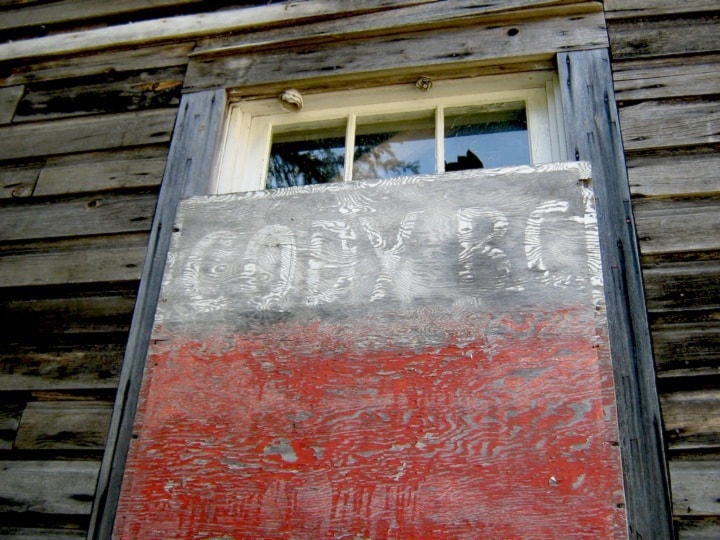
The earliest mention of the Cody townsite, a short-lived rival to Sandon, is in The Ledge of February 7, 1895: “In the spring a crown grant will be issued to the owners of the Cody Creek townsite.”
Some sort of dispute held this up, however, and it wasn’t until June 24, 1896 that Charles E. Perry surveyed the townsite. In rather dull fashion, the streets were numbered 1 to 9 and the avenues named A through E, except for River Ave.
A post office application was referred to the postal inspector on February 28, 1896, but for some reason it took until May 1, 1897 for mail service to begin. The post office closed on October 30, 1901.
You can still drive past Sandon and into Cody today, where the remains of the Noble Five concentrator are the most impressive sight.
Henry Cody never married but persuaded elder brother Edward to join him in the west with his wife and children. Edward became Kaslo’s police chief and Henry lived with the family until his death of tuberculosis.
Champion Creek, revisited
Concerning our installment a few weeks ago on the Doukhobor community at Champion Creek, historian Jon Kalmakoff adds: “The settlement did indeed thrive until the 1960s ... The primary cause of the community’s demise appears to have been its isolation. Until the 1960s, it was only accessible by walking from Castlegar, then rowing a boat across the river from Blueberry Creek, or horseback riding from Ootischenia. Even in later years, driving a vehicle along the banks of the Columbia to get there was risky at best.”
The school closed in 1958. Electricity only arrived in 1960, by which time all that remained were three rundown, sparsely populated villages that were abandoned soon after.
Previous installments in this series
Applegrove, Appleby, and Appledale revisited
Bakers, Birds, and Bosun Landing
Bannock City, Basin City, and Bear Lake City
Boswell, Bosworth, Boulder Mill, and Broadwater
Brooklyn, Brouse, and Burnt Flat
Camborne, Cariboo City, and Carrolls Landing
Carmi, Cedar Point, Circle City, and Clark’s Camp