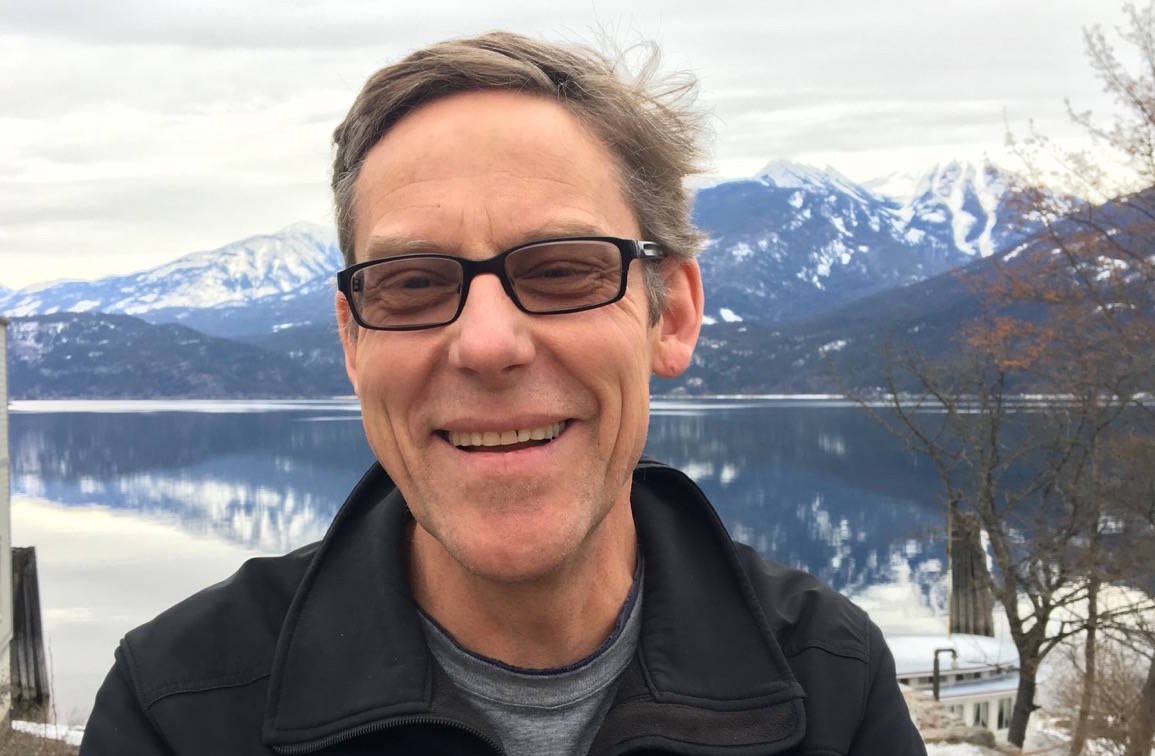
A local forest consultant has created a video to help the public understand the complexities of wildfire mitigation around Nelson.
A daunting list of entities each has some authority over the land visible from the city: city hall, the Regional District of Central Kootenay (RDCK), one large private forest landowner, multiple smaller private landowners, several timber companies, BC Parks, and the province of B.C.
They all have to co-operate in the complex project of reducing wildfire risk.
John Cathro’s video, made in partnership with visual artist Andrew Fry, shows the breakdown in an easy-to-understand 120 second visual:
“Charts and graphs tend to make people’s eyes glaze over,” Cathro says. “Many people don’t understand maps, and long- winded descriptions can be too time consuming. So I thought we need to bring in different media to tell the story.”
Cathro is a professional forester who works as a consultant for local governments in community wildfire risk reduction.
Privately owned land
The first layer that shows up on the video is privately owned land, a very large proportion of the total. No government has the authority to do anything to reduce fire risk on that land. It’s up to the landowner.
While there is money to do wildfire fuel treatment on public land, there is none for private land, Cathro says. So property owners are on their own, with work that can cost up to $10,000 per hectare.
(Fuel treatment means modifying forest vegetation by retaining large dominant trees but thinning from below by removing small trees, then pruning the retained trees from the ground up to increase the height to the crown before removing all wood debris on the ground. The result: a forest of large trees with no underbrush, small trees, or debris.)
But local governments can help private landowners with FireSmart activities that will reduce the fire risk to their homes and outbuildings.
“But that is to do risk assessments,” Cathro says. “There is currently not a program to help you replace your roof or put on sprinklers or to [actually carry out] the FireSmart [recommendations].
“So the private land piece is a real conundrum for local governments and fire departments to try and reduce the risk.”
Related: Action by Nelson area landowners key to wildfire safety, expert says
City of Nelson land
The next section of the video shows city owned land.
Nelson has already done fuel treatment work in Art Gibbons Park in Rosemont and around the cemetery. But the percentage of land in Nelson that is actually owned by the city is small, as shown in Cathro’s video.
Although the city owns the water intake site at the Mountain Station reservoir, it is surrounded by high hazard forest owned by others.
Anderson Creek Timber
Land owned by Anderson Creek Timber shows up as a very large block south of the city.
This property is categorized as privately managed forest land — a different category from the controversial unregulated property near Cottonwood Lake owned by Nelson Land Corporation.
Private managed forest land has its own regulations and some modest requirements for riparian protection and reforestation in return for a provincial tax break.
West Arm Park
West Arm Provincial Park covers 26,000 hectares southeast of city. BC parks, the city, and the RDCK are working collaboratively to plan fuel mitigation including two priority locations: the Svoboda Road area and Five Mile Creek, which is the source of Nelson’s drinking water.
The video also shows land (orange) that has already been treated — some in the city and some in West Arm Park – as well as a larger area (purple, described as “forests under prescription”) that will be treated in the next few years.
Related: West Arm Park wildfire prevention plans move forward
Selous Creek
Cathro says the RDCK and Kalesnikoff Lumber Company are working on a joint plan to do fuel mitigation work in the Selous Creek area where the company has a timber license. This is part of the blue section on the map between Anderson and Selous Creeks.
Reaction to the sound of chainsaws
When this work starts — some of it this year — Cathro expects some people will complain.
“As we know in Nelson you can have a range of reactions to the idea of a chain saw being started up and cutting down trees. You have to be able to communicate that to people, that it is wildfire risk reduction, and earn the social license. This comes back to how do we communicate, how do we tell the story.”
Open House
There will be an open house for the public to participate in a conversation about the wildfire threat to local communities on May 7 from 5 to 8 p.m. at the Adventure Hotel, sponsored by the RDCK and the city.
On the agenda will be the work that is already being done, and what residents can do to reduce the risk.
Related:
• How is Nelson being protected from wildfire?
•‘Surrounding a community with a fire break won’t help’
• FireSmart assessment an eye-opener for Nelson homeowner
• Firesmart program has homeowners ‘thinking like an ember’
bill.metcalfe@nelsonstar.com
Like us on Facebook and follow us on Twitter