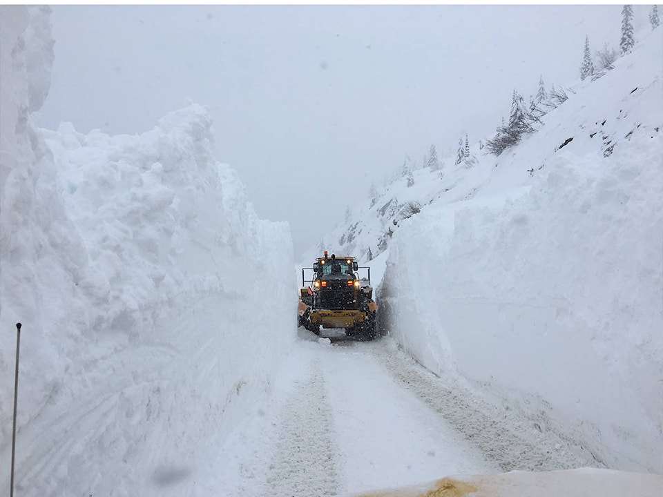
Avalanche Canada is calling for high avalanche danger this weekend across B.C. interior
The forecast is for Rogers Pass, North/South Columbia Mountains, Kootenays and the Cariboos.
READ MORE: Environment Canada issues snowfall warning and highway alerts across Okanagan
READ MORE: Kickstarter launched for new Revelstoke ski map
Currently, there is a winter storm warning in effect for those areas with Environment Canada expecting up to 60 cm, coupled with warming temperatures.
Forecast for Glacier National Park and Rogers Pass:
Issued: Thursday
“The Avalanche Hazard is rated Considerable for TODAY, but will increase to high TONIGHT and TOMORROW!”
Forecast for Friday:
Alpine: High
Treeline: High
Below treeline: Considerable (this will increase to high by Saturday)
Snowpack problems include: storm and persistent slabs on all aspects.
For more information, visit Avalanche Canada
@RevelstokeRevue
editor@revelstoketimesreview.com
Like us on Facebook and follow us on Twitter.