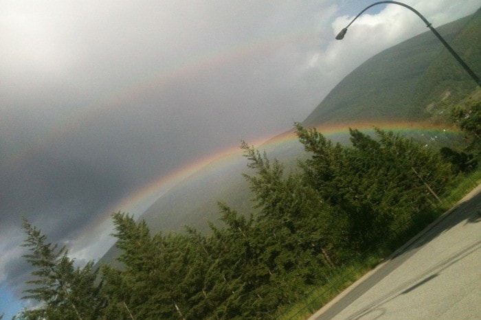
If you have the feeling the month of June is soggier than usual, you are right.
With 12 days left in the month, local rain records are on the verge of being broken.
“I like the chances of this going down as the wettest June on record, but it’s not quite there yet,” said Ron Lakeman at the Castlegar weather office.
The records at the local weather show that 2005 holds the high water mark for accumulated rain at 117 mm. As of Monday afternoon, a total of 110 mm has fallen in our region.
“Somebody has done something that has turned the weather gods,” Lakeman said with a laugh.
Some might wonder if too many people stepped on spiders in the month of May, but the local weatherman has a more scientific answer.
“It’s a tough because there is uncertainty,” Lakeman said when asked to pinpoint the cause of the damp end to spring. “The La Nina had great influence as we went through March, April and a little bit of May. But everything right now is suggesting that the La Nina is no longer and we are a neutral state of the El Nina southern oscillation.
So on that basis there is not a lot to go on. But it could lingering effects of the La Nina or it could just be one of those things.”
A La Niña is described as an ocean-atmosphere phenomenon that is the counterpart of El Niño as part of the broader El Niño-Southern Oscillation climate pattern. During a period of La Niña, the sea surface temperature across the equatorial Eastern Central Pacific Ocean will be lower than normal by 3 to 5 C.
The less scientific answer is that June in the Kootenay is typically unsettled.
“It is relatively common to get cool, wet weather at times during the month of June,” said Lakeman. “It’s a month that is generally less agreeable with outdoor activities than the month of May.”
This year’s June has not seen a big difference in actual days of rain, but the size of the rainfalls is what has contributed to the inevitable record breaking month.
“To get two or three or four big systems back-to-back-to-back is not normal and that is what happened earlier in this month,” said Lakeman
Between June 3 and June 8 the region saw 85 mm of rain fall. In one day alone (June 6), a total of 25 mm was deposited from the sky.
“There is some hope on the horizon,” said Lakeman. “There will be definite warming, we could be hitting upper 20s and even 30 C by Thursday and Friday. But we do show moisture coming back into the picture after that.”
As for the Kootenay summer?
“There is typically a shift in the pattern in late-June or early-July where we get warm, dry weather,” said Lakeman. “I’m optimistic for July and August.”
