We received nearly double the average snowfall in February — but only 26 per cent of the usual rainfall.
According to statistics from the Southeast Fire Centre in Castlegar, things averaged out: total precipitation was 94 per cent of normal.
The first half of the month was “relatively uneventful,” forecasters Ron Lakeman and Jesse Ellis wrote in their monthly summary, with an upper ridge of high pressure dominating.
The last two weeks of the month were “far more active with numerous disturbances.”
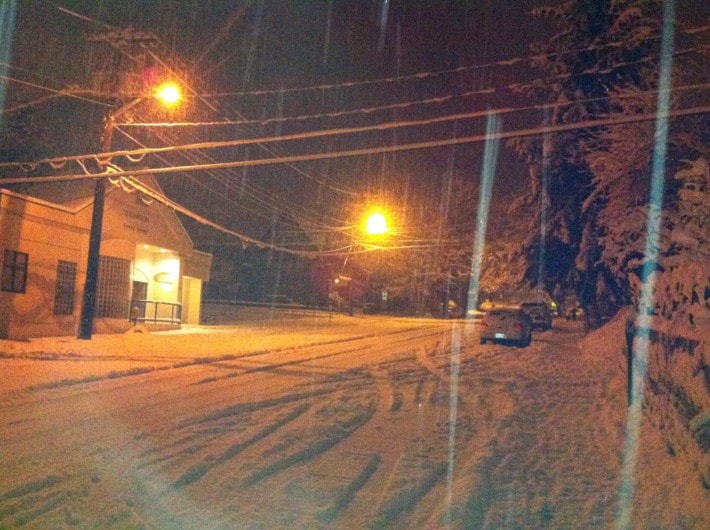
The most significant was a Pacific frontal system that dumped nearly 20 centimeters of snow in a 24 hour period beginning at 6 a.m. on the 24th.
Eighty-six per cent of the month’s total precipitation fell during the last two weeks of the month, mainly as snow.
One quirky record was established: the 8.2 millimeters of precipitation on the 29th was the most ever on a leap day.
Last month’s 61.7 centimeters of snow was well above the 33.7 centimeters we normally get — but still well below the record high of 98 centimeters in 1969.
February’s coldest temperature was –13.7 during clear, calm conditions on the early morning of the 28th.
Although no temperature records were broken, daily lows of –11.3 and –13.7 on the 27th and 28th came close.
The record low for the month of –21 was set in 1996.
The highest temperature of the month was eight degrees on the 22nd. The all-time high was 14.3, set in 2010.