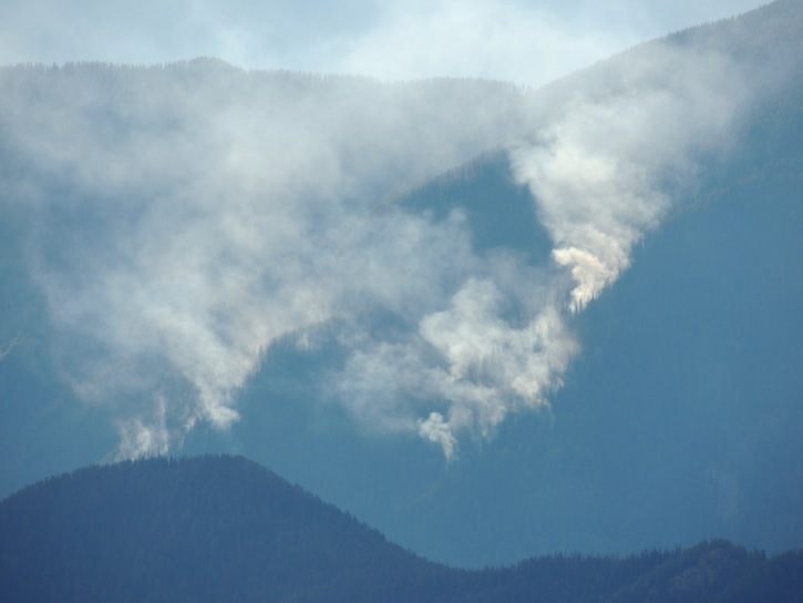
The smoky air in Nelson yesterday today is mostly from fires in the US and the Kamloops area, according to the Southeast Fire Centre.
That includes the huge 14,000 hectare Stickpin fire just six km. south of Grand Forks in Washington state, and the 2500 ha fire burning in the U.S. south of Creston.
Meanwhile the Paulson fire, between Castlegar and Christina Lake, is estimated at 260 hectares, with 30 firefighters, two helicopters, 6 pieces of heavy equipment, and more resources heading to the fire today (August 20). Traffic is single lane alternating and drivers should check Drive BC before departing.
West of Creston, the Mount Midgeley Fire is at 333 ha.
In the past week 130 new fires have started in southeast BC, and the total for the summer so far is 535, compared with the mid-August average of 251, according to the fire centre.
In the past 48 hours there are two new fires in the Kootenay Lake area: .009 hectare at Coffee Creek, and .2 hectare at Dumont Creek east of Winlaw.
A recent environment ministry air quality advisory has been updated to include Nelson.
For constantly updated information on fire, see the interactive map at bcwildfire.ca. That page also has links to air quality information and driving conditions in the vicinity of fires.
Given the rash of recent wildfires in the region, the Regional District of Central Kootenay wants to direct residents to information that could prove helpful during this dry season.
To view frequently asked question on evacuation alerts and orders, air quality, road closures and FireSmart principles, please visit rdck.ca/EN/main/services/emergency-management/wildfires.html.
In the event of an emergency, the RDCK updates the public through our website, our Facebook page and