The Ministry of Transportation plans to replace the South Slocan bridge beside the Dam Inn with rock fill, leaving some residents outraged they may lose their underpass.
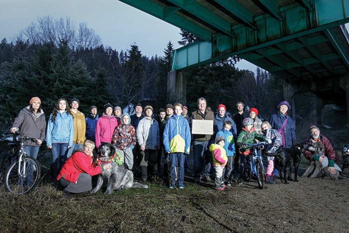
“When I go for a walk I’ve got my toddler and two large dogs. I don’t want to walk across the highway,” concerned resident Colin Payne told the Star. “The tunnel connects us to recreation opportunities, walking trails. That underpass is very much part of the fabric of our neighbourhood.”
Put another way: “One thing I love about being here is the ability to leave my house and just go for a walk down by the Kootenay Canal or the Slocan Pools. Having that blocked off means we would need to cross the highway, which totally changes the character of the neighbourhood.”
According to residents, ministry officials have told them it would be too costly — approximately an additional $400,000 — to incorporate an underpass into their design, and they weren’t sure there was usage to justify that expenditure. There has been a discussion about installing a counter mechanism to get some numbers.
The project is scheduled to start in 2017.
“The other group that’s direly opposed is the Slocan Valley Heritage Trail Society, the rail trail people, because basically they want to extend the parking lot for the first trailhead, which is just past the bridge,” said Payne.
The trail society plans to extend the trail underneath the bridge and ultimately connect it to the Trans Canada Trail. Payne, who is also a member of the South Slocan commission of management, said he’s spoken to many residents who feel the same way.
One of them is Slocan Valley regional director Walter Popoff.
“I support the concerns of the South Slocan residents, Slocan Valley Heritage Trail Society and the overall community. I understand the importance of having a passageway under the proposed replacement of the bridge,” he said.
Popoff has not seen plans for the proposed project, but has spoken to project manager Robbie Kalabis.
“He said there’s no funding in the project to accommodate access beneath the rock fill, so essentially they’re blocking it off. And everyone wants that access maintained.”
Popoff spoke to transportation district manager Hugh Eberle, and has requested to visit with an assistant deputy minister while he’s in Victoria on March 4.
The ministry is soliciting feedback from the community. An open house has been scheduled by the Ministry of Transportation at Mount Sentinel School on March 1 from 4 to 8 p.m, where plans will be shared.
According to a statement provided Thursday, “The Ministry is committed to gathering feedback from this information session and working with stakeholders and other levels of government to ensure that long-term trail options in the area are considered.”
The removal of the bridge will coincide with safety improvements to that section of Highway 3A. Upgrades will include safer intersections and wider shoulders.
“We will also be working with local government and other government agencies to look at the issue of trail connectivity in the area, and how this project could fit with their plans to develop a public trail network,” the ministry statement said. “The ministry understands the local interest in trails and looks forward to receiving feedback and ideas from the public on this project.”
The statement didn’t specifically address the cost or feasbility of providing a pedestrian tunnel.
Payne has spoken to one resident in favour of the underpass, but he lives on the opposite side of the highway. Most people in the area have small children, he said.
“This is a fairly historically significant area,” said Payne. “If it’s getting the usage or not, it’s part of our neighbourhood.”
The bridge was built in the late 1950s when the highway was constructed, bi-secting the village. Previously traffic was routed directly through the village. It goes overtop of a now-abandoned rail line.