It’s days like Thursday that really remind travellers what it’s like living in a remote mountain community.
Avalanche activity shut down two major roadways out of our area yesterday with the Paulson Pass closed during the afternoon and Kootenay Pass reopened last evening after being closed since avalanche control started Wednesday morning.
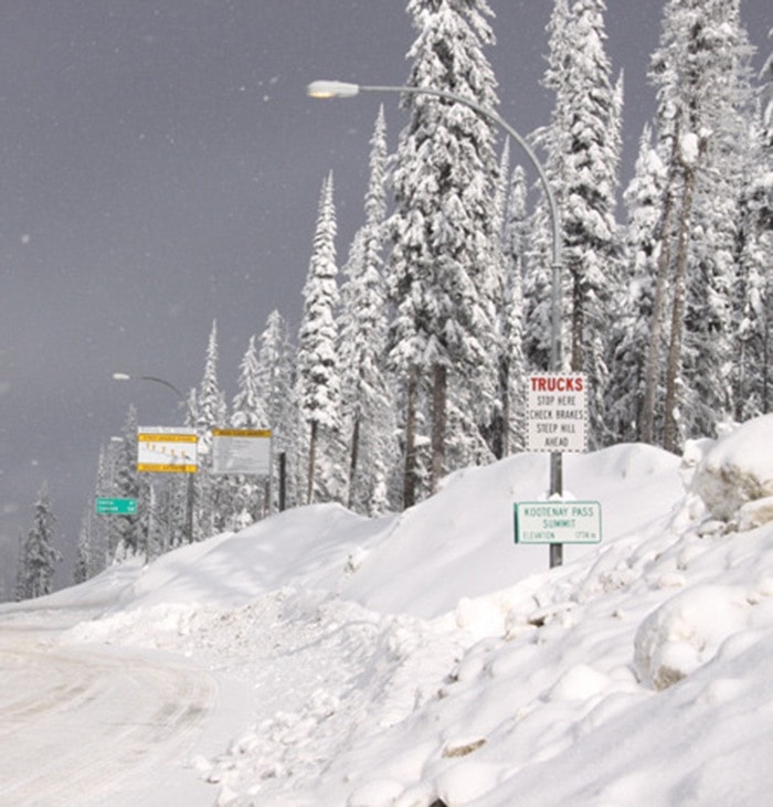
There are still up to two-hour delays expected as avalanche control continues until early this afternoon.
Wednesday, avalanche deposits at Meadow Creek closed Highway 31. That road is still reduced to single lane travel with delays of about 15 minutes.
With road closures along Highway 3, both the Arrow Lakes Ferry and the Kootenay Lake Ferry busy with detouring traffic. Brian Coe with Western Pacific Marine says commercial traffic had the biggest impact on service over Kootenay Lake.
“Our problem wasn’t so much volume, it was the type of traffic,” he says. “A lot of B-trains and our problem was getting them into the tough turns we have on our lot with our snow.”
There were sail waits from 9 a.m. until the ferry got back on schedule at 8:40 p.m.’s sail out of Kootenay Bay.
“It actually went fairly well,” says Coe. “The lineups weren’t that bad, surprisingly enough... I was proud of our crews some of them putting in 15 to 16 hours.”
Amid the travel woes many drivers were experiencing, the ferry had to wait for an ambulance needing to make an East Shore pick up to take a patient to Nelson.
“We got a phone call on board the vessel of an ambulance coming lights and sirens and we had to keep space for it and keep space for it on the other side as well,” says Coe.
At the root of most travel difficulties this week was the weather. Canadian Avalanche Centre reports the latest weather system dumping up to 55 cm of new snow that now sits atop a variety of old surfaces.
Avalanche activity was greatest in areas where the recent precipitation fell as rain. Now, as temperatures warm, the new snow is settling into a “widespread soft slab.”
Isolated flurries and possible showers are forecasted for the weekend with a possible 20 to 30 cm predicted to fall.
Avalanche danger is rated considerable in all areas
“The mid-Feb weak layer still remains reactive in some areas and has the potential to produce large, destructive avalanches,” reads the Canadian Avalanche Centre bulletin. “Warm temperatures and the load of the new snow may 'wake up' this weak layer and very large natural avalanches are possible.”